
Mapa topográfico Westbroek
Mapa interactivo
Haga clic en el mapa para ver la altitud.
Acerca de este mapa
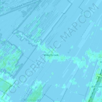
Nombre: Mapa topográfico Westbroek, altitud, relieve.
Lugar: Westbroek, De Bilt, Utrecht, Niederlande (52.13182 5.09489 52.17252 5.15985)
Altitud media: 0 m
Altitud mínima: -3 m
Altitud máxima: 4 m
Otros mapas topográficos
Haga clic en un mapa para ver su topografía, su altitud y su relieve.
Hollandsche Rading
Niederlande > Utrecht > De Bilt
Hollandsche Rading, De Bilt, Utrecht, Niederlande
Altitud media: 6 m