
Mapa topográfico Pu'er
Mapa interactivo
Haga clic en el mapa para ver la altitud.
Acerca de este mapa
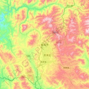
Nombre: Mapa topográfico Pu'er, altitud, relieve.
Altitud media: 1.401 m
Altitud mínima: 826 m
Altitud máxima: 2.029 m
Pu'er is located in southern/southwestern Yunnan, on the lower reaches of the Mekong (known in Chinese as the Lancang), with the bordering prefectures being Yuxi to the northeast, Honghe to the east, Xishuangbanna to the south, Lincang to the northwest, and Dali and Chuxiong. It also shares borders with Vietnam (Điện Biên Province), Laos (Phongsaly Province), and Burma (Shan State), being the only prefecture in Yunnan to border all three countries. As with much of the province, mountainous terrain dominates its administrative area, covering 98.3%. Elevations range from 376 to 3,306 metres (1,234 to 10,846 ft).