
Mapa topográfico Tagong
Mapa interactivo
Haga clic en el mapa para ver la altitud.
Acerca de este mapa
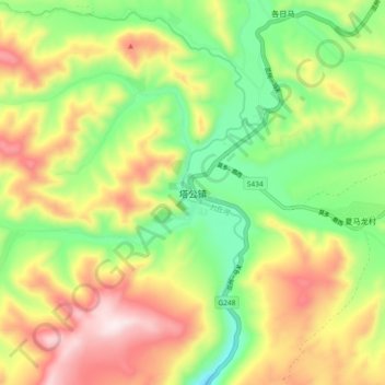
Nombre: Mapa topográfico Tagong, altitud, relieve.
Altitud media: 3.874 m
Altitud mínima: 3.626 m
Altitud máxima: 4.188 m
It is the location of Lha'ggong Monastery — a gompa and one of the most important in the area, in Tibetan Pel Lhagong. It was established with reference to a nearby sacred mountain, Mt. Yala or Zhara Lhaste, 5,820 metres (19,090 ft) in elevation.