
Gracias por apoyar a este sitio ❤️
Haz una donación
Haz una donación
Mapa topográfico Shadoxhurst
Haga clic en el mapa para ver la altitud.
Gracias por apoyar a este sitio ❤️
Haz una donación
Haz una donación
Acerca de este mapa
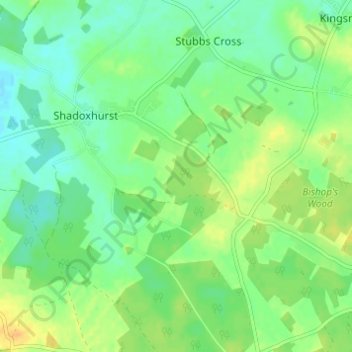
Nombre: Mapa topográfico Shadoxhurst, altitud, relieve.
Lugar: Shadoxhurst, Ashford, Kent, England, United Kingdom (51.08325 0.79816 51.11918 0.85912)
Altitud media: 43 m
Altitud mínima: 31 m
Altitud máxima: 59 m
Gracias por apoyar a este sitio ❤️
Haz una donación
Haz una donación