
Gracias por apoyar a este sitio ❤️
Haz una donación
Haz una donación
Mapa topográfico Shooks
Haga clic en el mapa para ver la altitud.
Gracias por apoyar a este sitio ❤️
Haz una donación
Haz una donación
Acerca de este mapa
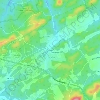
Nombre: Mapa topográfico Shooks, altitud, relieve.
Altitud media: 293 m
Altitud mínima: 254 m
Altitud máxima: 390 m
Gracias por apoyar a este sitio ❤️
Haz una donación
Haz una donación
Otros mapas topográficos
Haga clic en un mapa para ver su topografía, su altitud y su relieve.
Karns
United States > Tennessee > Knox County
Karns is located in the Beaver Creek Valley between Beaver Ridge and Copper Ridge, both of which are elongate ridges typical of the Ridge-and-Valley Appalachians. The center of the community is located at 35°58′55″N 84°06′50″W / 35.98194°N 84.11389°W / 35.98194; -84.11389 (35.982,…
Altitud media: 314 m
Gracias por apoyar a este sitio ❤️
Haz una donación
Haz una donación