
Mapa topográfico Lake Ngawhero
Mapa interactivo
Haga clic en el mapa para ver la altitud.
Acerca de este mapa
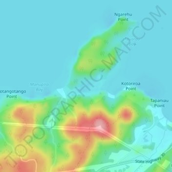
Nombre: Mapa topográfico Lake Ngawhero, altitud, relieve.
Altitud media: 309 m
Altitud mínima: 278 m
Altitud máxima: 416 m
Otros mapas topográficos
Haga clic en un mapa para ver su topografía, su altitud y su relieve.
Lake Rotongata (Mirror Lake)
New Zealand > Bay of Plenty > Ruato
Lake Rotongata (Mirror Lake), Lake Okataina Road, Ruato, Rotorua District, Bay of Plenty, New Zealand
Altitud media: 432 m