
Mapa topográfico Willeskop
Mapa interactivo
Haga clic en el mapa para ver la altitud.
Acerca de este mapa
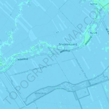
Nombre: Mapa topográfico Willeskop, altitud, relieve.
Lugar: Willeskop, Montfoort, Utrecht, Nederland, 3425 TC, Nederland (52.00361 4.88886 52.04361 4.92886)
Altitud media: -1 m
Altitud mínima: -5 m
Altitud máxima: 3 m
Willeskop is sinds 2002 ook een nieuw natuurontwikkelingsgebied dat in de Lopikerwaard ter hoogte van de Bloklandse Dijk ligt.
Otros mapas topográficos
Haga clic en un mapa para ver su topografía, su altitud y su relieve.
Huis Te Linschoten
Nederland > Utrecht > Montfoort
Huis Te Linschoten, Montfoort, Utrecht, Nederland, 3461AC, Nederland
Altitud media: 0 m