
Gracias por apoyar a este sitio ❤️
Haz una donación
Haz una donación
Mapa topográfico Hythe
Haga clic en el mapa para ver la altitud.
Gracias por apoyar a este sitio ❤️
Haz una donación
Haz una donación
Acerca de este mapa
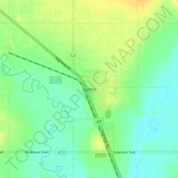
Nombre: Mapa topográfico Hythe, altitud, relieve.
Lugar: Hythe, County of Grande Prairie, Alberta, T0H 2C0, Canada (55.31015 -119.57774 55.35015 -119.53774)
Altitud media: 747 m
Altitud mínima: 736 m
Altitud máxima: 761 m
Gracias por apoyar a este sitio ❤️
Haz una donación
Haz una donación