
Mapa topográfico Palembang
Mapa interactivo
Haga clic en el mapa para ver la altitud.
Palembang
At 2°59′10″S 104°45′20″E / 2.98611°S 104.75556°E / -2.98611; 104.75556, Palembang occupies 400.61 km2 of vast lowland area east of Bukit Barisan Mountains in southern Sumatra with average elevation of 8 metres (26 feet), approximately 105 kilometres (65 miles) from nearby coast at Bangka Strait. One of the largest rivers in Sumatra, the Musi River, runs through the city, dividing the city area into two major parts which are Seberang Ilir in the north and Seberang Ulu in the south. Palembang is also located on the confluence of two major tributaries of Musi River, which are Ogan River and Komering River. The river's water level is influenced by tidal cycle. In rainy season, many areas on the city are inundated by the river's tide.
Acerca de este mapa
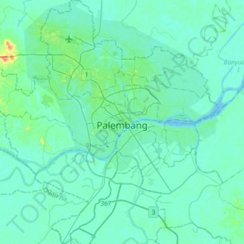
Nombre: Mapa topográfico Palembang, altitud, relieve.
Lugar: Palembang, South Sumatra, Indonesia (-3.11621 104.61372 -2.85459 104.86062)
Altitud media: 6 m
Altitud mínima: 0 m
Altitud máxima: 51 m