
Mapa topográfico Seabrook
Mapa interactivo
Haga clic en el mapa para ver la altitud.
Seabrook
Seabrook takes its name from Thomas Seabrook, who was a topographical engineer with the Pennsylvania Railroad. He originally built three cottages and a park with fenced-in tame deer in the area near the rail station[5] in the early 1870s.
Acerca de este mapa
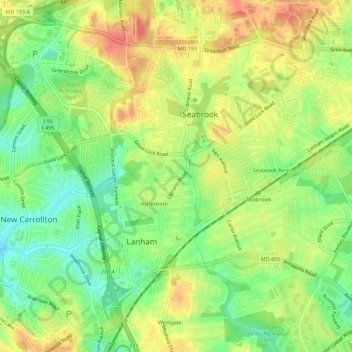
Nombre: Mapa topográfico Seabrook, altitud, relieve.
Altitud media: 49 m
Altitud mínima: 22 m
Altitud máxima: 75 m