
Mapa topográfico Yuxi
Mapa interactivo
Haga clic en el mapa para ver la altitud.
Acerca de este mapa
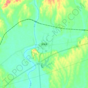
Nombre: Mapa topográfico Yuxi, altitud, relieve.
Lugar: Yuxi, Yichang, Hubei, China (30.87829 111.88788 30.95829 111.96788)
Altitud media: 66 m
Altitud mínima: 45 m
Altitud máxima: 116 m
Tempered by the low latitude and moderate elevation, Yuxi has a mild subtropical highland climate (Köppen Cwb), with short, mild, dry winters, and warm, rainy summers. Frost may occur in winter but the days still generally warm up to around 17 °C (63 °F). During summer, a majority of the days features some rainfall, and daytime temperatures rise to 26 °C (79 °F). A great majority of the year's rainfall occurs from June to October.