
Mapa topográfico Tai Lam Chung Catchwater Section M
Mapa interactivo
Haga clic en el mapa para ver la altitud.
Acerca de este mapa
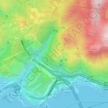
Nombre: Mapa topográfico Tai Lam Chung Catchwater Section M, altitud, relieve.
Altitud media: 181 m
Altitud mínima: -2 m
Altitud máxima: 443 m