
Gracias por apoyar a este sitio ❤️
Haz una donación
Haz una donación
Mapa topográfico The Crossroads
Haga clic en el mapa para ver la altitud.
Gracias por apoyar a este sitio ❤️
Haz una donación
Haz una donación
Acerca de este mapa
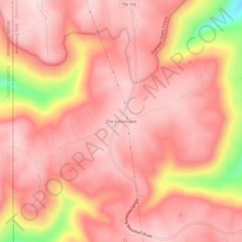
Nombre: Mapa topográfico The Crossroads, altitud, relieve.
Altitud media: 484 m
Altitud mínima: 240 m
Altitud máxima: 561 m
Gracias por apoyar a este sitio ❤️
Haz una donación
Haz una donación
Otros mapas topográficos
Haga clic en un mapa para ver su topografía, su altitud y su relieve.
South Pittsburg
United States > Tennessee > Marion County
South Pittsburg is located at 35°0′30″N 85°42′38″W / 35.00833°N 85.71056°W / 35.00833; -85.71056 (35.008342, -85.710645). The city is situated in the southwestern Sequatchie Valley between the Cumberland Plateau on the west and the Tennessee River (Guntersville Lake) on the east. Two steep…
Altitud media: 272 m
Raccoon Mountain Pumped Station Dam
United States > Tennessee > Marion County > Chattanooga
Altitud media: 415 m
Gracias por apoyar a este sitio ❤️
Haz una donación
Haz una donación