
Mapa topográfico Tobermory
Haga clic en el mapa para ver la altitud.
Tobermory
The deep waters at the mouth of Georgian Bay are home to Fathom Five, Canada's first National Marine Conservation Area. The park preserves a rich cultural legacy that includes 22 shipwrecks and several historic lighthouses. Fathom Five's freshwater ecosystem contains some of the most pristine waters of the Great Lakes. The rugged islands of the park are a reminder of the impressive lake-bed topography found beneath the waves. There are glass-bottom cruises at Tobermory which offer tours to the park, as well as the rugged north coast of the Bruce Peninsula.
Acerca de este mapa
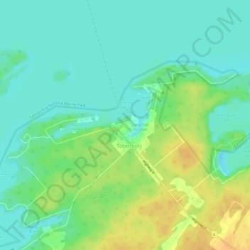
Nombre: Mapa topográfico Tobermory, altitud, relieve.
Altitud media: 182 m
Altitud mínima: 170 m
Altitud máxima: 201 m