
Mapa topográfico Lanin
Mapa interactivo
Haga clic en el mapa para ver la altitud.
Acerca de este mapa
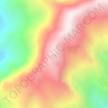
Nombre: Mapa topográfico Lanin, altitud, relieve.
Lugar: Lanin, Cāchār, Dima Hasao district, Assam, Inde (25.09092 93.24696 25.09102 93.24706)
Altitud media: 1.053 m
Altitud mínima: 496 m
Altitud máxima: 1.428 m
Otros mapas topográficos
Haga clic en un mapa para ver su topografía, su altitud y su relieve.
Triangular Pond
Inde > Assam > Golaghat > Golaghat
Triangular Pond, Amolapatty Region — Amolapatty Old, AMOLAPATTY — OLD, Golaghat, Assam, 785621, Inde
Altitud media: 100 m